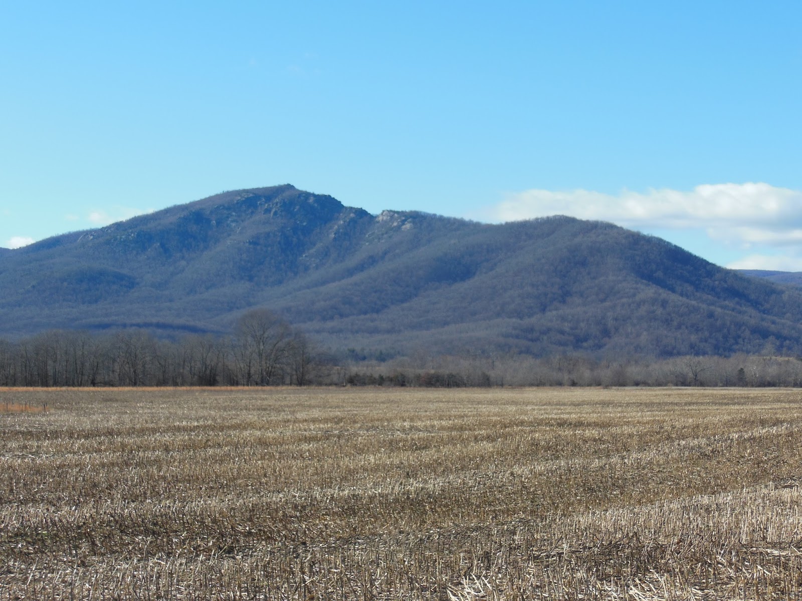
Where: Shenandoah National Park, Near Nethers, VA Distance: 9.2 miles Duration: 5.5 hours Weather: Foggy AM, light rain on ascent, clearing midday with scattered clouds, temp in the 50s, breezy. Elevation: Old Rag Parking Lot, 850 ft., up to Old Rag peak, 3291 ft. and back on Weakly Hollow Fire Road.
Another day trek to get the hike juices flowing heading into spring took me to one of the most popular areas in the SNP. Leaving home around 7:00a I arrived at the Old Rag Mountain main parking lot at 8:00a and departed soon thereafter. I spied three other men exiting their car and heading up the access road to the trailhead at a quick clip - faster than I would; never saw them again. I checked by the National Park Ranger Station to see what registration was required. This is a fee area but I have my senior NP pass and did not feel I needed to do anything official. Several decades have passed since my last hike here, so memories fade. I did remember a few aspects of the trail, but was surprised by the extensiveness and difficulty of the rock scramble along the Ridge Trail. The weather cooperated with cool temps to begin, light rain on the ascent, warm sunshine, stiff breeze on top, cooler descent to the fire road and mostly clear skies after. Entirely refreshing.
Sunrise
Blue blazed trail
White blazes are reserved for the AT so blue and yellow are used to differentiate others. Yellow is often associated with horse trails.
Pleasant incline
Sun and Rain
Clouds breaking up
Brighter and brighter
I hiked up the Ridge Trail to the rock scramble with little difficulty and encountered a half dozen day-hikers like myself with various levels of gear. It seemed that a few had no gear at all, no water or anything, just out for a walk up and back to their transportation. The clouds started to break up but there continued a fine rain, not unpleasant. The third photo above appears to be sun-drenched but the rain was falling and beautiful with the back light from the sun. The rain abated as I approached the scramble but everything was wet and the wind had increased significantly along the ridge.
Straight up through the gap
Above is typical of the scramble. Hiking sticks are useless and found themselves secured to my day pack. They took a beating as I hoisted myself over and under rocks brushing against hard surfaces, or as I tossed them up or down with my pack to a another vertical level. The rock surfaces were wet and slippery, but my trail runners are very flexible, so establishing a firm grip was much easier than with stiffer, harder-soled boots. I understand why rock climbers traverse rock surfaces in near stocking feet.
See the blaze but where is the trail?
Wait for it.
Voila
Gravity defying
These are just a few photos of the scramble; this rocky portion continues for almost a mile and required every bit of upper body strength I could muster and tested my rebuilt shoulder. It passed.
Atop the ridge amid the scramble but still short of the summit is a rock outcropping that is an ideal place to view the countryside to the east. Notice the fire plume in the distance. The morning was nearly gone so I stopped for a bit of lunch, rest and solitary joy. Afterward I proceeded up to the summit along the Ridge Trail (more scramble) and then down the Saddle Trail to the fire road.
Who put that rock there?
Good directions and abundant trail markings
Byrd's Nest Shelter #1
Past the scramble
Hmm, yeah I need that.
This privy has a composting design. Notice the section to the right of the upper structure. When the left side fills up, the cover on the right is removed, the upper structure shifted to the right and the cover re-installed on the left. Over time the "stuff" composts. Some appreciated trail maintainer supplies leaves and wood shavings in a bin inside next to the throne so, like mindful animals in the wild, one can cover their scat and assist the composting.
Old Rag Shelter - day use only and easily accessible from downhill
At a juncture just below this shelter the Weakley Hollow Fire Road descends for several pleasantly-graded miles to the trailhead. This is a yellow-blazed trail and I did, indeed, encounter two ladies astride their four-hoofed mounts out for a trot.
Weakley Hollow
Brokeback Run
Parting shot, late afternoon
At 2:30p I was back in the parking lot feeling exuberant about the day and how well I faired under the circumstances. This bodes well for future outings; I am choosing treks that I am prepared for physically and mentally, that are challenging enough to increase my trail readiness and that are enjoyable. There were two park rangers at the station, refilling the registration box, so I ambled over and quizzed them regarding registration. They stated that as long as I had my pass and ID I would be fine; a park official checking registration papers would look for those in my case.
Reflections: a well-planned and executed outing, no injuries, challenging conditions, beautiful views, lots of solitude (is that good?), proper number and style of layers to maintain comfort, love those trail-runners. Looks like I might be ready for an overnight which requires me to use my regular pack and long distance gear. A bit further away lies St. Mary's Wilderness, where I have hiked on a number of occasions and which contains a loop of trails with overnight camping. Looks like I am on my way back to what I truly enjoy: long-distance hiking on the AT (and other alluring trails).


No comments:
Post a Comment