 |
| On the line |
Where: Western NC, North GA
Weather: 80s over 60s, thunderstorms some days.
Elevation Points of Interest: Albert Mt. (Fire Tower) - 5250', Standing Indian Mt. - 5498', Blood Mt. - 4461', Springer Mt. - 3782'.
Distance: 109.8 AT miles; 8.8 Approach Trail miles
The last time I hiked the AT at length was 2.5 years ago. Shoulder surgery and recovery among other distractions, kept me off the long trail until now. I had been training and hiking some but I wondered if I had what it took to master this trek. Those spin and yoga classes at the gym, walks around town and those ups and downs to the lower forty apparently did the trick. I had a plan and stuck to it except on the penultimate day where I hiked to the top of Springer Mt. instead of the previous shelter 2.8 miles down the mountain.
The key to above is that a triangle indicates a known campsite and three horizontal lines a shelter (logs maybe?). The left column of numbers shows the distance between stops and the right the cumulative total which I entered at the end of each hiking day.
Day 1: After one night in Asheville, NC visiting M's clan, we drove over to Franklin, NC and up to the gap for my departure. My plan was to hike 9.1 to Big Spring Shelter with the heaviest pack this trip, probably around 32 pounds including 7 days provision; It only gets lighter from here. I waltzed into a shelter in mid-afternoon with a group of day hikers and some confusion where I was precisely. Using an old trail guide (2012) can cause some problems. A new shelter had been built and an old one razed, but what was what? After some head scratching I determined that I was not at my targeted shelter (no name plate, did not fit description, distance wrong) so I struck out for it. Well, when I arrived at the spot this was the razed shelter. O my! No problem; I just hiked a bit further to the top of Albert Mt. with its fire tower. Much better setting and I had watered up so no shortage of the cool stuff. Spent the night solo in windy and cool surroundings - refreshing.


Day 2: As I was packing up, Bob showed at the fire tower and we struck up a meaningful conversation. We traveled together (not heel to top on the trail) and met up at two other tent sites before he left the trail. Under clear skies and with pleasant temperatures I spent a leisurely day (meaning lots of stops and rest needed for first full day) and ascended Standing Indian Mt. We debated where to camp and chose the peak with marvelous views, breezy conditions and good company. Several hikers, all northbound (NoBos), stopped by for the view. Jessie decided to stay over and we pitched tents and enjoyed the evening sunset.


Day 3: Fairly easy terrain today into Plumborchard Gap Shelter. Weather delightful. Wildflower Day. Crossed into North GA. Met Bob at campsite with more poison ivy around than I have seen recently. The shelter was 0.2 miles down a steep grade with water below. We choose to take the campsite versus the shelter but did go down packless for water, bear box storage, and fellowship. Lively group at the shelter with many excellent campsites about.


Day 4: Back down to the shelter to pick up food and water and then headed out toward Dick's Creek Gap and a popular trail intersection with US76 and Hiawassee, GA 11.0 miles west. Bob's wife and brother-in-law met him and me around 12:30p. Off they went. I spend a good hour here for water, lunch, rest, foot maintenance and conversation. More severe ups and downs today but I made reasonable time into Sassafras Gap with good campsite and water. Fourth night in a row tenting; something I had never done before. Little bit of rain but I had organized my gear within the capacious rain fly that extends away from the door. Love my tent. All dry in the morning.
Day 5: With more arduous hiking (three significant ups and downs) I spent 9.5 hours on the trail from 8a to 5:30p with many breaks. As I dropped into Unicoi Gap (GA75 into Helen, GA) with 2.5 miles to go and a 1000' climb, the rains came. You probably have seen those notice boards under small pitched roofs on both sides informing travelers and hikers of directions, rules, warnings, and other info. There were about 6 hikers with packs crammed in on both sides while the heavens dumped torrential, blowing rain. We were all getting wet and more people were hustling down the trail and from across the road for shelter. What to do? A young adult with iPhone announced another hour of the stuff before it cleared. Grumbling and jostling made for an unwelcome spot. So with rain jacket donned, I just took off across the road and up the trail that had become a river. I took my time, while my lower body and shoes were soaked as I made my way up Blue Mt. I arrived at the shelter damp but no worse for wear. The skies cleared, up went the clothesline for wet, dry clothes unpacked and dinner prepared with enjoyable company of three others in the roomy, dry shelter. A beautiful but somewhat obscured view from the top was a delight. No tent pitching this night, I spread my ground cloth on the planks of the shelter floor, inflated my O-so-comfortable sleeping pad, unrolled my fleece summer sleep sack and just stretched out for a well-deserved rest before dinner. If at any point on the trail I could claim that "I crushed it" this was it. I wondered if someone waiting out the weather down in the gap said of me as I headed out in the deluge, "That dude came for some serious hiking."
The last time I hiked the AT at length was 2.5 years ago. Shoulder surgery and recovery among other distractions, kept me off the long trail until now. I had been training and hiking some but I wondered if I had what it took to master this trek. Those spin and yoga classes at the gym, walks around town and those ups and downs to the lower forty apparently did the trick. I had a plan and stuck to it except on the penultimate day where I hiked to the top of Springer Mt. instead of the previous shelter 2.8 miles down the mountain.
 |
| Original plan notes with revisions |
Day 1: After one night in Asheville, NC visiting M's clan, we drove over to Franklin, NC and up to the gap for my departure. My plan was to hike 9.1 to Big Spring Shelter with the heaviest pack this trip, probably around 32 pounds including 7 days provision; It only gets lighter from here. I waltzed into a shelter in mid-afternoon with a group of day hikers and some confusion where I was precisely. Using an old trail guide (2012) can cause some problems. A new shelter had been built and an old one razed, but what was what? After some head scratching I determined that I was not at my targeted shelter (no name plate, did not fit description, distance wrong) so I struck out for it. Well, when I arrived at the spot this was the razed shelter. O my! No problem; I just hiked a bit further to the top of Albert Mt. with its fire tower. Much better setting and I had watered up so no shortage of the cool stuff. Spent the night solo in windy and cool surroundings - refreshing.
 |
| Winding Stair |

 |
| Largest trillium I have ever seen |


 |
| Long Branch Shelter - typical for this section of trail |
 |
| Albert Mt. marker |

 |
| Great campsite near fire tower |


 |
| Bob and Jessie |

 |
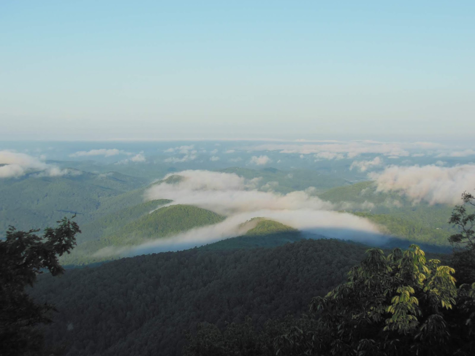
| Clear top of the morning |
 |
| Gnarly |
 |
| Resting folks |
 |
| Mountain Laurel |


 |
| Got ferns? |
 |
| Plumborchard campsite - stock photo |
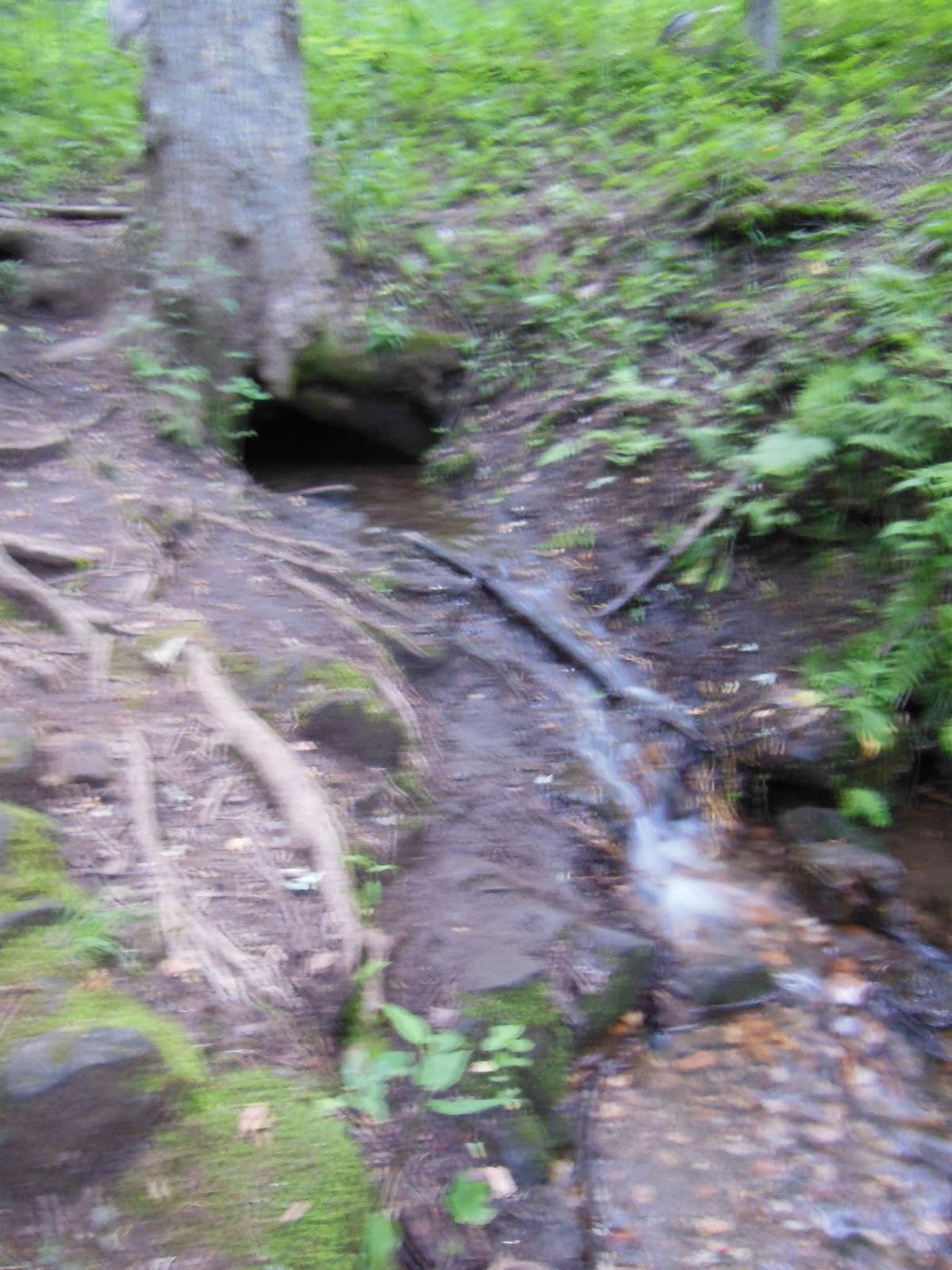 |
| Spring emanating from a lagoon under a tree |
 |
| Sassafras campsite solo sundown |
 |
| Grand stand of mayapple |
 |
| Massive root ball along trail |
 |
| Lots of blow downs - trail where? |
 |
| Notice Board mini-shelter |
 |
| Blue Mt. Shelter |


 |
| Quizzical Family |
 |
| Neels Gap pass-through |
 |
| Who put that rock on top? |


Day 8: From here to Springer is pretty easy hiking and I was feeling very good, so I was sanguine about the remaining days and nights on the trail even with foggy damp conditions. I left Blood Mt. around 8:00a and arrived at Gooch Mt. around 4:45p to a shelter and camping area brimming with Boy Scouts from Florida. Why so many Floridians? If you live in FL and want mountains, these are the closest. After some discussion with boys and leaders, I carved out my crib on the left of the lower level of this roomy two storey. The boys said that Hannah was coming up later to start a fire in the fire ring. Not long after she showed offering some vittles: venison sausage. She had an abundance which needed to be consumed in the next few days and had not the capacity to eat them all. I weighed in since I was a little short of food for my last days, tasted a sample and delighted in the sage and fennel seasoning. No boys initially partook, but a bit later one addressed me with a request for a taste. That courage started a demand that took half of my stash, but still left enough for lunch tomorrow. The palindromic lady from KY came up early and we struck up some serious and enlightening conversation whilst attempting to ignite damp tinder. We failed with the fire, but I became acquainted with a formidable pioneer woman whose story is too long and involved to tell. We resonated on many philosophical points and agreed to stay in touch. Trip to KY? The Scouts nor their leaders were well acquainted with AT shelter traditions and protocol, so the noise did not die down until well past hiker midnight. Also, if someone snores loudly and persistently, they often choose to tent away from the shelter. Not so this evening, so I had to endure a night of log-sawing breathing which challenged my ability to control my response to the annoyance.
 |
| Damp foggy day of hiking |
 |
| A few scouts at Gooch Mt. |
 |
| Official plaque signifying southern terminus |
 |
| Proof of completion; I am happy about it. |
 |
| GA club plaque with adjacent AT blaze: first one heading north |
 |
| Springer Mt. Shelter |
 |
| Morning departure from Springer summit |
 |
| Trail buddy |
 |
| Falls and steps from the base |
 |
| End of trail for me; beginning for NoBos |
Bookend: After hiking 1200+ miles and ending at Springer I how have an AT bookend experience: finishing a long hike at one end of the trail. This hike was also the culmination of 5 or so years of experience that made the outing go so well. I plan to stay in the shape I am now and be ready for whatever comes next. I do not have my heart set on hiking the entire AT, but do have loose plans. The remaining mileage in PA I would like to share with my Baltimore family over whatever time frame and sections we choose to undertake. That will put me close to 1300 miles. There are two other sections I want to hike: the White Mts. in New Hampshire and the 100 mile wilderness in Maine that leads up to Katahdin, the northern terminus. These will also be family hikes in the sense that M and I plan to travel to the location and spend whatever time I need to complete the section. M, as in this trip, will be my logistical support: taking me to trailheads, picking me up a few days later, helping with resupply, sharing nights in indoor accommodations and meals prepared by someone else, and providing companionship. While I am hiking, she can soak up what the area has to offer. There are other off-AT hikes I would like to experience: the John Muir Trail, part of the PCT near Yosemite NP; some PCT in the Oregon Cascade Range with the boy, some local Shenandoah trails with friends.
Best Hike? Nearly two weeks have passed since I finished and I as I relive the experience I believe this could have been the best AT hike so far, closely followed by sections in the Smokies, southwest VA near Roanoke, Maryland (with family) and middle PA. What makes a "best" hike? People, solitude, preparedness, openness, flexibility, natural beauty, weather, challenge, patience, love. After having been off the trail for so long, getting back on was just exhilarating and satisfying; being able to do this at this stage of my life is truly a blessing. Thank you, Lord.