Where: Rocky Southeastern Pennsylvania
Weather: 7 days of near perfect weather; penultimate day, major afternoon thunderstorm with torrential rain and hail; slight rain on the last day.
Length: 104.6 miles northbound
Elevation: No more than a 1000 foot elevation change at any one time. My final descent into Port Clinton was a challenging drop: 1000 feet in less than a mile.
I have had a major long-distance backpacking goal in mind for some time: I wanted to be able to choose about a 100 mile section of trail, hike it in a week, and feel that at the end of the week I could just resupply and keep on hiking like many thru-hikers do. I have no desire to hike for extended periods of time, say more than two weeks. My life in Orange, VA is a blessed one and I enjoy being there so much I would not want to be away much longer than that. This goal would represent a level of preparedness (physical, mental, knowledge, experience, gear) at which I could hike along with many thru-hikers and enjoy myself. I am satisfied that on this hike that goal was accomplished: this is my first hike (except for that Philmont hike many years ago with the boy) that was over a hundred continuous miles, I averaged 15 miles a day including the starting and ending days that were not full due to logistics of getting on and off the trail, and I felt pretty good when M picked me up in Port Clinton last Tuesday. I admit that two days later my feet were sore and I suspect that if I had tried to maintain that pace without a break I would have paid for it with some unscheduled zero days (days on the trial with no miles hiked). On two hikes in the past I had succumbed to this ailment well before reaching the 100 mile mark and chose to go home. So, I consider it a great outing and I had a wonderful time hiking, being out-of-doors, and meeting a variety of new people who were doing the same thing I was.
Day 1: M dropped me off near Mt. Holly Springs, PA where S and I almost three years ago finished a hike of about 50 miles, my first in PA. I hiked 8.0 miles to the backpacker campground just south of Boiling Springs over mildly undulated terrain on a ridge that included a natural rock maze. I was first into the campsite, set up my tent, and rested as other hikers (a total of 4) drifted in. The night was cool and pleasant with meaningful conversation around a small campfire. Hiker midnight - about 8:30p.
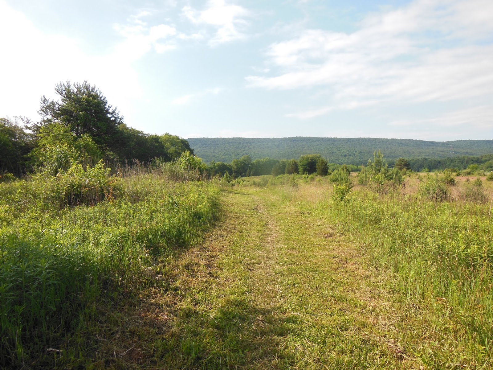
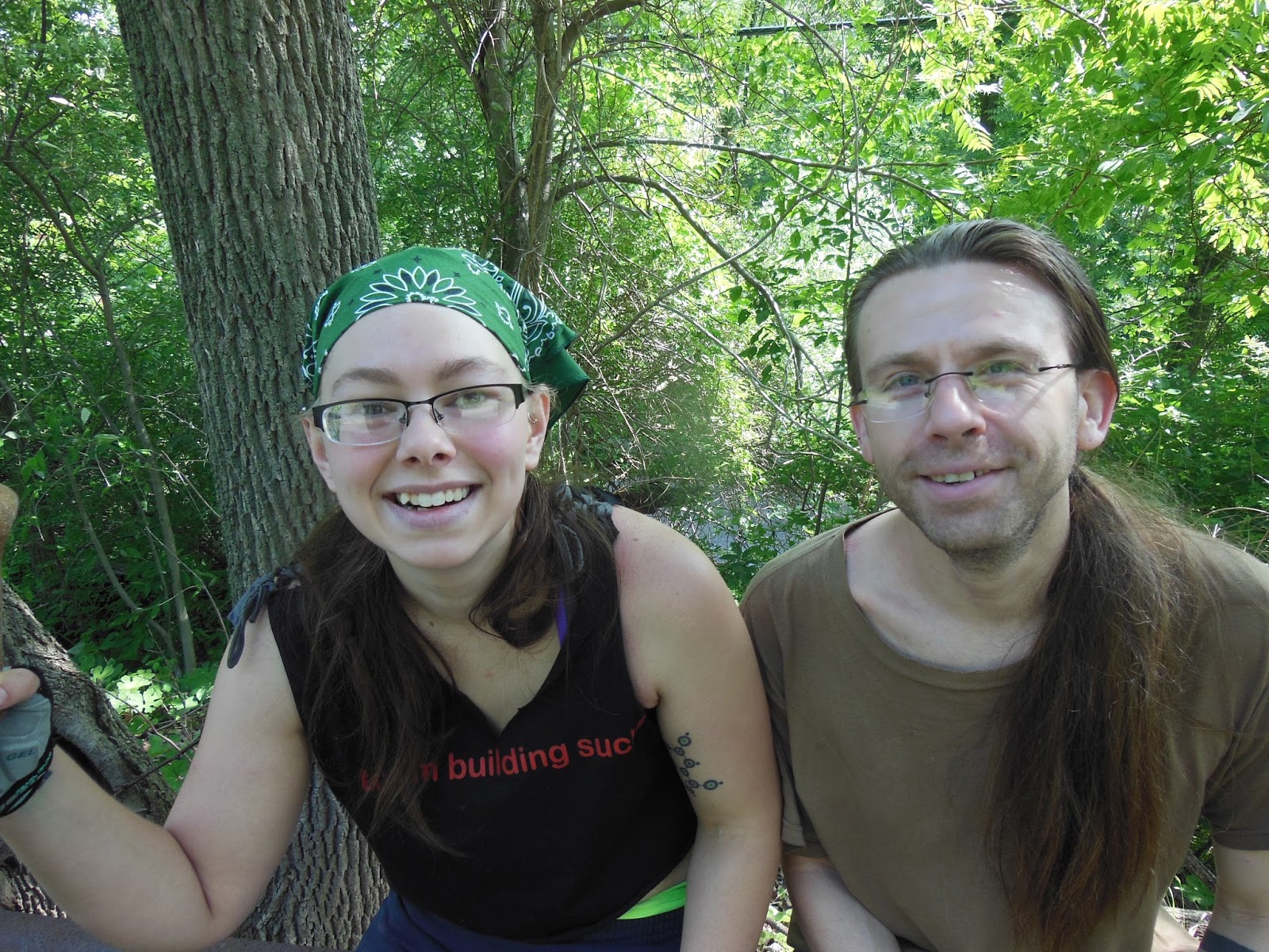
Day 2: At 6:45a I hiked into Boiling Springs, had a cold breakfast on the porch of the ATC regional office, and hiked the 22.1 miles through the Cumberland Valley past the Darlington Shelter to the Cove Mountain Shelter (I had a schedule to keep). That may seem like a lot of miles for my first full day out but the hike was basically flat until the ascent up the mountain at the end. Fortunately, it was an overcast day and some slight rain a day's end so I was not subjected to the brutality of a summer sun as I hiked through and around field after field. Six others shared the shelter, a nicely bunked affair. I spend some time with some of these hikers over the remainder of my trek. Pictures tell all.
 |
| AT path on right protected verge of bridge |
 |
| Big river |
 |
| A look back |
 |
| Lunch break at Clarks Ferry Shelter |
 |
| Peters Mountain Shelter |
 |
| Interior with loft, ladder, and picnic table |
Day 4: The 18 miles planned for today were relatively flat ridge line stuff with a drop into and out of Clarks Creek where PA325 filled the gap. The hiking was about the same as previous days with really good weather: sunny and not too hot under the canopy. Near the end of the hike I passed into a defunct coal mining area; there were literally tons of fine debris about, some in large mounds, some scattered around the trail verge and at times the bed of the trail, actually quite pleasant to walk on since is was very fine and packed evenly. As I turned east off the main trail to the 0.3 mile access (blue-blazed trail) to the shelter I found myself on a wide level road of the same material that was surely manmade and extended beyond the Rausch Gap Shelter into a beautiful camping spot. The road passed by on the right and pitched steeply down into a gorge. The shelter had a great spring within its rock surround; the water source was coming out of a pipe from under the road into a trough that made for easy cleanup. I enjoyed a mini-bath here that was invigorating. The shelter was small and nearly full and I had been considering tenting anyway: good choice. I wandered over to the campsite and set up my tent on a level grassy patch. A young couple and one of my mates for the past few days were ensconced around the fire ring. There were a number of other campsite about and one back on the road was occupied by a Boy Scout troop. That brought back memories. There was a breeze and the evening temperature dropped quite a bit requiring the donning of a jumper and hat. Good sleep this night.
 |
| Power line crest view to east |
 |
| Power line crest view to west |
 |
| Small rock bridge over spring |
 |
| Do not drink this water |
 |
| Trail to shelter: old mining road |

 |
| That's my stuff |
 |
| Bausch Gap Shelter, was full but now empty |
Day 5: Another 18 mile day would take me to the 501 Shelter over similar terrain. I leap-frogged with many of the hikers I had met over the past few days. The 501 shelter is located a few hundred yards from PA501 which leads to Bethel, PA. The shelter is an enclosed bunkhouse with 14 spaces, 7 up, 7 down, and a large center table with octagonal skylight, no electricity. A caretaker lives in an adjacent house with running water which is connected to a solar shower via rubber hose. The two large black tanks rest above and absorb radiant energy from the sun to knock the chill off the well water, but on a cloudy day not much happens. Several folk endured the chilly spray, but I chose to just rinse off by the spigot. Ritual has it that all in the shelter band together for a mega pizza order from town. We all weighed in and 10 pizzas with soda showed up late in the afternoon. Yum! I played gin rummy with Kilroy and the group enjoyed being inside and comparatively comfortable. I ate 6 pieces of my large pepperoni, holding back two pieces for tomorrow's lunch.

 |
| Bat box |
 |
| Oxeyed daisies |
 |
| Fallen tree bridge over creek |
 |
| Couple I met at Rausch Gap campsite |
 |
| Iron bridge at Swarta Gap |
 |
| PIZZA! |
Day 6: The big miles were behind me know and the trail was pretty much flat until Port Clinton, PA, the end of my trek. The 15 miles to Eagle's Nest Shelter were typical rocky ridge line and overgrown trail with a few views. There was a forecast of severe thunderstorms at mid-afternoon, so all of us hikers had in our minds to reach the 8-person shelter before the deluge. Since the shelter was only 9 miles from Port Clinton, some would push on into town, but most would pull up short at the shelter for an overnight, then hike the miles into town in the morning with plans to stay overnight and then head out the next day resulting in what is termed a couple of nero (sounds like zero) days. To zero (a verb) means to not log any miles; to nero means to hike less than a full day which allows for town activities like laundry, resupply, eating and eating, and staying in a hostel or motel/hotel. Staying two nights with a rest day in between was on some hikers agenda. I arrived at the shelter around 3:00p, making very good time. Only a few folks were in, all of whom I knew. We claimed spots in the shelter by spreading ground cloths or sleeping pads. As the afternoon progressed more and more hikers showed. I felt a little guilty about taking a spot as a section hiker when many thru-hikers would be showing up in hopes of having a spot out of the rain, but the protocol is first-come, first-served. A large group showed just before the heavens opened and made decisions about where to tent or just wait to see what happened. The eight spots were taken and, without grumbling, later arrivals made plans. One couple pitched their tent in the eave of the roof on one side, a good choice. Others pitched tents, stowed gear and then just sat around the shelter. When the storm hit, the folks inside the shelter slid further back to allow for others to pile in totaling about 15 people. During the rain/hail storm another 5 or so showed up, looked forlornly into the crammed shelter and set about pitching tents in the rain. Now most of these folks had been on the trail for a couple of months and had already hiked over a thousand miles, so this was nothing new and they all took it in stride. After the major brunt of the storm passed rain continued through the dinner hour into the night. All quieted and the night was spent at peaceful, and in my case, warm and dry.
 |
| More rocks |
 |
| Mountain Laurel |
 |
| Unusual marker |
 |
| Pizza lunch break |
 |
| Lots of information |
 |
| Shelter filling up |
 |
| Storm coming |
Day 7: With only 9 miles to finish I was pretty excited. M was to arrive in Port Clinton at 12:00n, so I had plenty of time to hike the ridge and down into the gap. Since there were so many hikers about the trek along the ridge and down into town was peppered with stops and chats about getting off the trail, who was staying in town, who was going to zero, and most significantly where to meet up in town: The Barber Shop. The last mile of the trail is a steep, rocky descent, but much effort had been expended by trail crews to arrange steps to help make the trail safer. I slowly picked my way down and safely arrived at the railroad tracks and the entrance to town. I made my way over to the barber shop across from the Post Office where packages were awaiting hiker pick up when it opened. The barber shop was known for being extremely hiker friendly, offering coffee and donuts or cookies. The proprietor addressed every hiker with questions about trail name, hometown, reason for hiking and plans. He did not cut hair while conversing with hikers so a haircut could take about 90 minutes, but no one cared. I had discussed the virtues of M's Volvo XC70 with a hiker who had worked for Volvo, so he was familiar with her vehicle. As I was making a pot of coffee inside, he stuck in his head and announced that a Volvo had just turned the corner and was headed down the street for a turnaround. Out I came as M drove up. What a welcome sight: hugs, smiles, and kisses. After a few goodbyes we were off on our return trip to Orange. Go figure: I had just spent about 50 hours hiking 100 miles of trail over the course of 7 days and we would find ourselves home, some 250 miles away in 4 or 5 hours - two radically different experiences.
 |
| End of steep steps into town |
 |
| Old rail bed and bridge |
 |
| Into town, PO on left and barber shop on right at street's end |
 |
| Magnificent tableau tells much, see my pack on left? |
 |
| Hikers and customers enjoying the moment |
 |
| Good haircuts for a good price |