Date: October 21, 2011
Where: Tennessee - North Carolina Border near Hot Springs
Weather: Mostly sunny, 40s to start, breezy, pleasant in the afternoon
Length: 20.2 m
Elevation change: Allen Gap - 2200' to Camp Ball Creek 4700' in 6.6 m; ridge trail to Big Butt Mtn - 4838', then down to Devil's Fork gap - 3100'.
Duration: 10 hours of hiking
My 91 year-old mother-in-law is a North Carolina girl, who grew up in Hot Springs, attended Tusculum College in Greenville, TN, taught English in Asheville, NC then moved around a bit in Virginia after the war before returning to the old home place (which never left the family) in Hot Springs. That being so, as my life transected M's, we found ourselves in that house beside Spring Creek every summer and often on holidays. If you did not know, Hot Springs is one of the few towns with the distinction of having the AT run right sack dab through the middle of it and if that were not enough the French Broad river plows through the mountains with this town straddling. The intersection of these features along with what used to be the main road over the mountains from Asheville to Tennessee made for a spot I loved the first time I went there with M to be introduced to her grandmother prior to our marriage (needed a blessing). And I would venture that my time spent there with her family and our own expanding one (girl-boy-girl) deepened my appreciation for the out-of-doors and especially the AT (see earlier posting on Max Patch).
Fast-forward a bit - MIL is an 11 year a resident of a retirement community in Asheville (A.K.A. palace) and the house with the sleeping porch overlooking (and overhearing) Spring Creek is in another's hands. Battles raged to see who would get to sleep out there at night. I usually prevailed with random ankle-biters vying for the uncomfortable leftovers. Even when the day was torrid, an extra covering was required to comfortably enjoy the nighttime hours - love those cool mountains.

So last week M and I drove down (check out M's fine Swedish wheels) to Asheville for MIL's birthday and hooked up with some other family. Now there was a 20.2 m stretch of trail sandwiched between sections I had previously hiked that I wanted to complete and I figured with a small pack it could make a pleasant but challenging hike - I am still in training for the longer hikes since I want to be able to do 20 m on any day at any time. So the plan was to borrow MIL's Park Ave., drive two cars over to Devil's Fork Gap, park the Park, have M take me over to Allen Gap to start my trek and then she would return to Asheville. Then it is up to me to make my way back to DFG where my ride awaited. We left A'town before light but the trip took a bit longer so it was 8:30am before I actually started the hike, but with light until 7:00pm I should be fine if all goes well.
 |
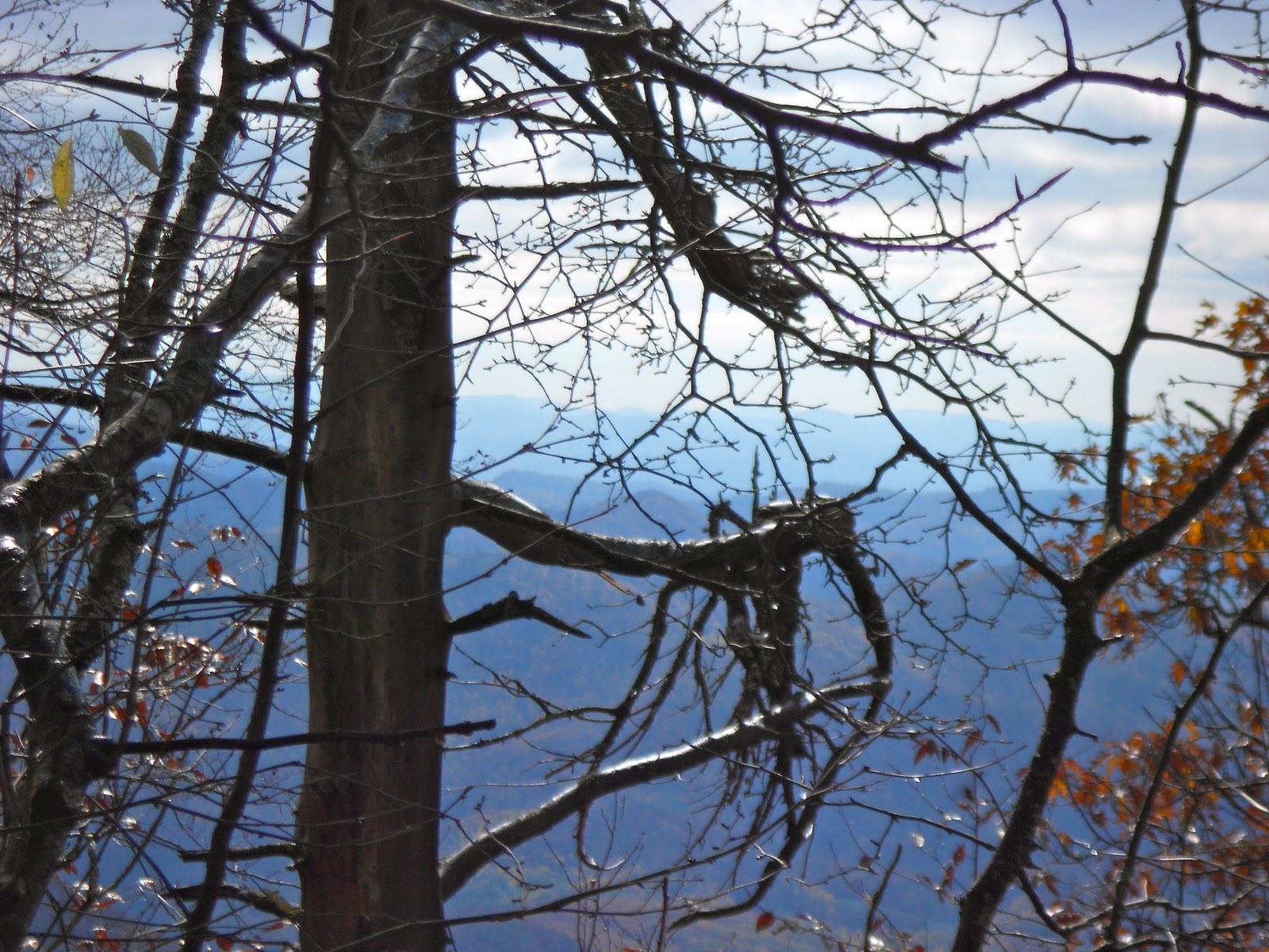
| Untouched by human hands |
In reflection this had to be one of the most enjoyable days I have ever spent on the trail; the weather was near perfect and the variation in the trail from meadow to ridge to light canopy was astounding. I had plenty of time and could enjoy myself. The pictures will tell the tale. Being a Friday I encountered a few folk earlier in the day and many more as evening approached. The Flint Gap Shelter a mere 2.7 m from DVG was overflowing as I passed; I felt a bit sorry for the other 5 hikers I passed all of whom asked me about the occupancy level. But what could one expect - this was the peak color weekend and the weather was hiker perfect.
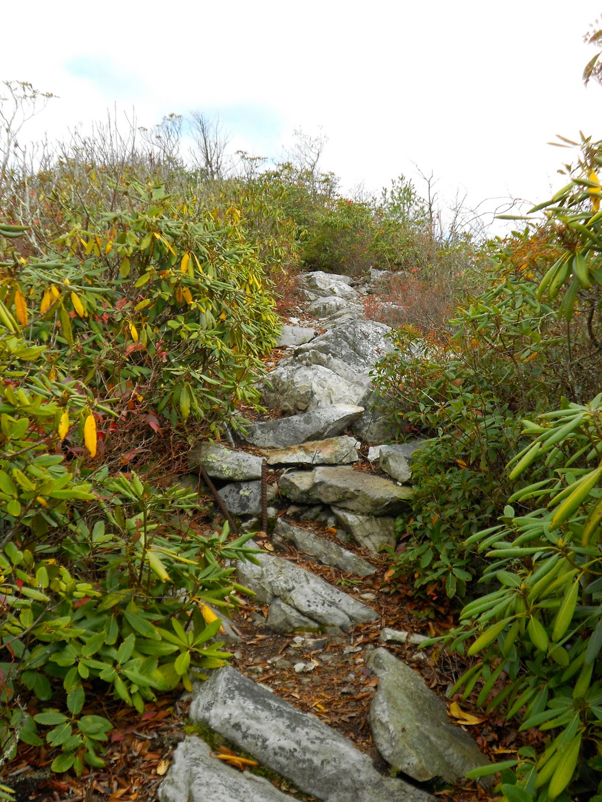
Some things worth noting: after the first 6 m ascent the trail developed along a ridge that is also the demarcation between NC and TN; this had to be one of the most amazing ridge walks I have experienced in years; due to the lack of leaves on the trees which colorfully covered the trail the views were expansive; the scattered clouds dappled the mountainsides and valleys; there were two high elevation meadows with lush ground cover; no bugs other than a few butterflies. This trail with a few mild up and downs persisted for about 12 m and then dropped gradually into DFG. How delightful is that.
I did have two watch-carefully-for-that-AT-white-blaze episodes. A hiker cannot depend on what appears to be the obvious path since at times an abrupt change in the trail can occur. At one point the trail broke out of some woods onto a fire road and appeared to continue at a slight slant on the opposite side with no obvious signs indicating otherwise, but after a few hundred yards I realized the absence of any blazes. I backtracked to the road as two gents were coming out where I had some minutes ago headed across the road like I did. Woah, I said, this ain't the trail. Collectively we viewed left and right along the road and spied a faint blaze 20 yards down. We headed that way and the road was the trail for a good quarter mile before a double-blaze clearly indicated a departure. No great damage. Later when I was on the steepest part of the downhill 5 m from the end I noticed out of the corner of my eye a log along the left side of the trail but took no serious notice and continued on down the straight path. I was making good time and so sure I was on the trail and watching closely so to get each footfall secure that I was not blaze conscious. When I awoke to a lack of memory as to the last blaze I felt foolish, then when I spied a NO TRESPASSING sign and an open unmarked meadow I was angry with myself. I trudged back up the trail at least a quarter mile with no memory of where I could have gotten off. As I approached that log I had seen earlier that was now on the right side I noticed a trail and a post with a blank board attached where I expect at one time there had been some kind of marking visible on the downhill. Anger dissipated, relief flooding in, legs shaking, I sat on that log to regain the peacefulness that comes with the regular presence of those little vertical stripes of white however faded they can become. Those misses cost me about an hour so with the remaining daylight fading into dusk I heard motor vehicles climbing into the pass and knew I was close. Shortly thereafter the terrain manifested the upcoming gap and I sprang out of the woods close to the Park Ave, as always the ride is a welcome sight. Even after such a glorious day my body would have protested any further exertion. My hiking day was done.
 |
| SNOW |


